Have any questions? Contact us!
Join our team!
Request a free quote or consultation

If you’ve ever seen a laser scanner set up on a construction site or in a factory, you’ve probably been looking at the first step of point cloud services. In simple terms, these services turn millions of tiny measurements into a detailed 3D picture of a real-world space. Engineers, architects, and surveyors use this digital replica to design, plan, and check work without relying only on flat drawings.
Point cloud services aren’t just about collecting data. They’re about making sense of complex environments quickly and with incredible accuracy. Whether it’s documenting an old building for renovation, checking the fit of new machinery, or creating a digital twin of an entire facility, point cloud data gives teams a reliable foundation to work from.
Understanding the Basics: What Is a Point Cloud?
A point cloud is exactly what it sounds like: a cloud made up of points in a three-dimensional coordinate system. Each point has an X, Y, and Z value. Together, millions or even billions of points describe the surfaces of objects, rooms, or landscapes with incredible accuracy.
Depending on how the data is captured, each point may also hold more than just position. It can include intensity (how strongly the laser reflected), color information (RGB values), or even classification tags that say “this belongs to a wall” or “this is ground.”
So why does this matter? Because a point cloud captures reality as it is. Unlike traditional drawings, which can be outdated the moment a wall gets moved or a pipe gets added, point clouds are direct records of physical conditions. That’s why they’re the starting point for so many modern engineering and design workflows.
How Point Cloud Data Is Captured
Point clouds are created with different scanning technologies, each suited to particular tasks.

1. Laser Scanning
This is the most common method. A laser scanner sends out beams of light and measures the time it takes for each one to bounce back. That time tells the system the distance to the surface, and multiplying that across millions of beams generates a dense field of points.
2. LiDAR (Light Detection and Ranging)
LiDAR is a specialized laser scanning technique often mounted on drones, vehicles, or aircraft. It covers large areas quickly and is accurate enough for topographic mapping, forestry management, and flood modeling.
3. Photogrammetry
Instead of lasers, photogrammetry uses photographs taken from different angles. Software stitches them together by finding common features in each image, then calculates their position in 3D space. While not as precise as LiDAR, it captures detailed color data and is relatively low-cost.
4. Handheld and Mobile Scanners
For smaller spaces or hard-to-reach areas, handheld devices and mobile scanning systems offer flexibility. They’re faster to set up and can cover spaces where a tripod-based scanner wouldn’t fit.
From Raw Data to Usable Models: The Workflow
The scanning process is only the beginning. Point cloud services involve a set of post-processing steps that make the data usable.
- Registration: Multiple scans from different positions are stitched together into one coherent dataset. This ensures full coverage and accurate alignment.
- Cleaning and Filtering: Raw scans usually contain noise or irrelevant data, like people walking by or reflective surfaces creating distortions. Cleaning removes these errors.
- Classification: Points are grouped into categories such as ground, walls, vegetation, or machinery. This makes downstream modeling easier.
- Conversion: The final step is turning point clouds into deliverables. Depending on the project, that might mean 2D CAD drawings, 3D BIM models, meshes for visualization, or digital twins for ongoing facility management.
Powerkh and Scan to BIM Services

At Powerkh, we see point cloud services as more than just data processing. For us, it’s about turning raw laser scans into something that teams can actually use to design, coordinate, and build with confidence. That’s why our Scan to BIM workflows focus on accuracy, speed, and practical application.
When clients send us their point cloud data, we work with all major formats and scanners, whether it’s Leica, Trimble, FARO, or Riegl. From there, we define the scope together, agree on the level of development required, and then move the data into Revit. Our team carefully refines every scan so the final model represents architectural, structural, and MEP systems in detail. What you get back is not just a 3D geometry, but a complete, interactive database that can be used for constructability reviews, clash detection, refurbishment, or even building management.
One of our strengths is responsiveness. Construction projects rarely follow a straight path, so we’ve built a workflow that adapts quickly when requirements or deadlines change. Communication is central to how we work, and we make sure our partners always know what stage we’re at and what comes next.
We also know that budgets and timelines matter. Over the years, we’ve completed more than 200 BIM and VDC projects across industrial, residential, and commercial sectors. That experience helps us deliver high-quality results at a fair price and with turnaround times that support project schedules rather than delay them.
In short, when you work with Powerkh you get more than a model. You get a partner who understands engineering challenges, anticipates design issues, and delivers digital solutions that move your project forward.
Where Point Cloud Services Are Used
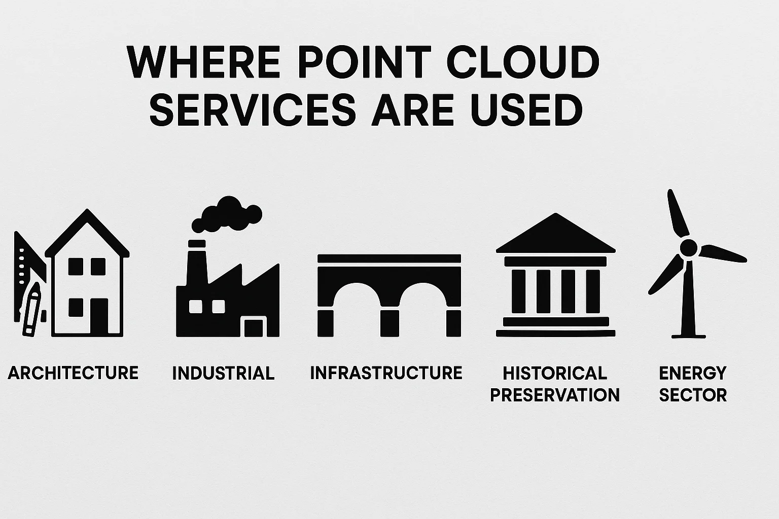
Architecture and Construction
In the building sector, point cloud services have become an essential part of planning and design. They allow teams to capture the true state of existing structures before starting renovation or extension projects. The resulting as-built models give architects and contractors a reliable reference point for clash detection and coordination. Prefabrication and modular construction also benefit, since the digital data ensures that every component is designed to fit within the actual space.
Industrial Facilities
Factories, process plants, and refineries are complex environments where accuracy matters. Point cloud services help map these facilities in detail so that maintenance can be planned efficiently. They are also used to check how new machinery will fit into existing layouts, reducing installation problems. In many cases, entire sites are converted into digital twins, giving operators the ability to monitor performance and plan upgrades remotely.
Infrastructure
Bridges, tunnels, and highways require continuous inspection, and point clouds provide a fast and reliable way to capture their geometry. Engineers can assess structural integrity, detect changes over time, and feed this data into simulation tools. When paired with geographic information systems, the scans are also used to build 3D terrain and city models that inform large-scale transportation projects.
Historical Preservation
Cultural heritage projects often face the challenge of documenting fragile or irreplaceable structures. Point cloud services offer a non-invasive method to capture monuments, artifacts, and historic buildings in high detail. Beyond preservation, these digital records can be used to create interactive educational materials and virtual tours, making heritage sites accessible to wider audiences without exposing them to physical wear.
Energy Sector
In oil, gas, and power generation, safety and precision are non-negotiable. Point cloud services enable inspections of pipelines, platforms, and plants without interrupting operations. This reduces the need for personnel to enter hazardous areas while still producing accurate digital records for compliance and monitoring. By keeping facilities documented in detail, operators can manage risks more effectively and ensure regulatory standards are met.
Benefits of Point Cloud Services
Point cloud services deliver advantages that traditional surveying or manual measurement can’t match. By capturing millions of data points quickly and accurately, they give teams a strong foundation for smarter decisions.
- High Accuracy: Measurements down to the millimeter ensure every design is based on actual site conditions rather than assumptions, reducing errors from the start.
- Time Savings: Large or complex sites that would take weeks to measure manually can often be scanned in just a few hours, keeping projects moving forward.
- Cost Efficiency: Accurate models cut down on rework and design changes, helping teams avoid expensive mistakes and stay within budget.
- Better Visualization: Detailed 3D models make it easier for everyone involved, even non-technical stakeholders, to understand the project and identify issues early.
- Improved Safety: Remote scanning reduces the need for workers to enter hazardous areas or difficult spaces, lowering on-site risks.
- Data Flexibility: Once captured, a point cloud can be repurposed for design, analysis, facility management, or future renovations without the need for another survey.
Software and Tools Used in Point Cloud Services
Point cloud services depend on both specialized platforms tied to scanning hardware and general-purpose design tools. Together they make it possible to move from raw scan data to models and drawings that engineers, architects, and contractors can actually use.
- Leica Cyclone: Works directly with Leica scanners and is known for its advanced registration features. It aligns multiple scans into a single dataset and includes visualization tools that let users check accuracy before moving into modeling, as a commercial software suite.
- FARO Scene: Designed for FARO scanners, this software stands out for its strong noise reduction tools and automated workflows, which save time when handling large and complex datasets.
- Autodesk ReCap Pro: One of the most widely used options for registration, cleaning, and visualization. Its biggest advantage is seamless integration with Autodesk tools like AutoCAD, Civil 3D, and Revit, making it easy to incorporate point clouds into existing workflows.
- CloudCompare: An open-source platform that can handle very large point clouds. It provides useful tools for measurement, segmentation, and analysis, making it a flexible choice for teams who want a cost-effective solution.
- Revit, AutoCAD, Rhino, Civil 3D: These design programs are where processed point cloud data gets converted into usable models and drawings. From clash detection to structural detailing, they bring the scan data into everyday engineering and construction tasks.
Future of Point Cloud Services
Point cloud services are evolving quickly, and automation is at the heart of that change. Artificial intelligence and machine learning are making it possible to process scans far more efficiently. Instead of spending long hours on manual feature extraction, algorithms can now recognize walls, pipes, and structural elements with surprising accuracy. This shift not only speeds up modeling but also lowers the barrier for companies that don’t have large specialist teams on hand.
At the same time, point clouds are becoming more connected with other digital ecosystems. Integration with BIM and GIS platforms means that scans are no longer just reference files sitting on their own. They’re part of broader workflows where design data, geographic information, and live operational inputs all come together. Cloud-based platforms are making this integration even more practical by allowing massive datasets to be shared, reviewed, and edited remotely, which is a huge advantage for project teams spread across different locations.
Another noticeable trend is accessibility. Mixed reality tools such as AR and VR are taking point cloud data beyond technical applications into immersive walkthroughs and training environments. Meanwhile, the hardware itself is getting smaller, cheaper, and more portable. Handheld scanners and drone-mounted LiDAR systems are opening the door for smaller firms to adopt scanning without prohibitive costs. These shifts suggest that what was once a niche technology will soon be a standard tool across construction, infrastructure, and facility management.
Conclusion
Point cloud services may sound like a niche technical field, but they’re quickly becoming a standard across industries. By capturing reality in precise detail, they bridge the gap between the physical and the digital. Whether you’re planning a renovation, managing an oil refinery, or preserving a historic monument, point cloud services give you the data foundation to make smarter, safer, and more cost-effective decisions.
What once took weeks of manual measurements can now be achieved in a few hours with a scanner and the right expertise. That’s why point clouds are not just a tool, but a shift in how industries think about design, construction, and asset management.
Frequently Asked Questions
What exactly are point cloud services?
Point cloud services cover the process of capturing 3D spatial data with scanners, cleaning and registering that data, and then converting it into usable outputs like CAD drawings, BIM models, or digital twins. They provide a reliable digital record of real-world conditions.
How accurate is point cloud scanning?
Accuracy depends on the equipment and workflow, but most modern scanners capture measurements within a few millimeters. That level of detail is more than enough for design, engineering, and construction work.
What are the main benefits of using point cloud data?
The biggest advantages are speed, accuracy, and safety. Scans can cover large or complex sites quickly, provide highly reliable measurements, and reduce the need for workers to enter hazardous environments.
Can point clouds be turned into BIM models?
Yes. That’s one of the most frequent uses. Services like Scan to BIM take raw point cloud data and build accurate Revit models that represent architectural, structural, and MEP systems.
Do point cloud files require special software?
Yes. Raw point cloud data is often very large and needs to be processed with dedicated tools like Autodesk ReCap, Leica Cyclone, or CloudCompare before it can be used in design programs such as Revit or AutoCAD.
Are point cloud services expensive?
Costs vary depending on project size, complexity, and the level of detail required. While scanning and modeling aren’t cheap, they usually save money by preventing rework, avoiding delays, and improving coordination.
Have a BIM Project? Talk To Us.
Contact UsOur Case Studies
We have handled 200+ BIM & VDC projects for commercial, industrial, and residential sectors.
Our work includes:
Formwork design automation
Our client from
California, USA
Suspended ceiling design automation
Our client from
New York, USA
Wall framing design automation
Our client from
California, USA