Urban Planning 3D Models
City decisions are made on what stakeholders can visualize. Powerkh builds accurate 3D city, district, and masterplan models from your GIS, CAD, and survey data, so planners, developers, and review boards can test massing, zoning, and context before anything is committed.
Discuss the taskPowerkh is a digital design consultancy delivering BIM, computational design, structural detailing, and digital fabrication for owners, architects, contractors, and engineers worldwide. About us
- 2018Founded
- 400+BIM/VDC projects
- 11Countries served
- 91NPS score
Urban Planning & Masterplan 3D Modeling Services
An urban planning 3D model is a digital representation of a city, district, or site that combines proposed buildings with existing context, terrain, and infrastructure. Built from GIS, CAD, and survey data, it supports massing studies, zoning analysis, shadow and view testing, and stakeholder review during planning.
A 3D urban model turns scattered planning data into a single shared picture. By merging terrain, existing buildings, roads, and site boundaries with proposed massing, it lets planning teams study density, setbacks, sightlines, shadows, and how a scheme sits within its surroundings. That clarity shortens review cycles, exposes conflicts early, and gives boards and communities something concrete to respond to instead of abstract figures on a plan.
Powerkh has delivered 400+ BIM and VDC projects for US, UK, and EU clients since 2018, and we bring that discipline to urban work. We build district and masterplan models from GIS exports, CAD basemaps, point clouds, and survey data, structure them to your zoning and LOD standards, and keep context and proposal layers cleanly separated for analysis and updates. We work off-site with no field visits, deliver on hourly pricing with a free quote, and sign an NDA on request.

Why Choose Powerkh for Urban Modeling
Built from your real data
We assemble models from your GIS, CAD, point cloud, and survey inputs so the context and terrain reflect the actual site, not approximations.
Context and proposal separated
Existing city fabric and proposed massing stay on distinct, well-organized layers, making zoning studies and design variants easy to compare and update.
Ready for analysis
Clean geometry supports shadow, view, and density studies and exports smoothly to your visualization and analysis tools without rework.
Free quote, pay after delivery
You get an hourly estimate up front and pay only once the model is delivered and meets your standards, with an NDA on request.
Our Urban Planning Modeling Services
Massing studies
Quick, iterative building volumes to test density, height, and floor area against zoning envelopes and design intent.
City and district context models
Accurate surrounding building and street models built from GIS and survey data to place a proposal in its true setting.
Zoning and envelope studies
Setback, height limit, and buildable-envelope models that visualize what regulations permit and where a scheme pushes limits.
Site and terrain analysis
Topography, slope, and grading models from survey and point cloud data to inform siting, access, and earthworks.
Masterplan models
Full multi-block masterplan models with phasing layers, public realm, and infrastructure for large-scale developments.
Shadow and view studies
Solar, overshadowing, and sightline models that support daylight impact reviews and protected-view assessments.
Our Urban Modeling Process
-
Data review and quote
We assess your GIS, CAD, survey, and point cloud data, confirm the LOD and area needed, and provide a free hourly quote.
-
Base and context build
We georeference inputs, build terrain and existing context, and set up a clean layer structure aligned to your zoning framework.
-
Proposal and massing
We model proposed massing or masterplan blocks as separate variants so options can be compared side by side.
-
Analysis and review
We run or prepare the model for shadow, view, and density studies and share it for planner and stakeholder feedback.
-
Delivery and revisions
You receive the model in your required formats with a round of revisions to refine massing, context, or presentation.
Software We Use
We build urban and masterplan models in the tools planners and developers already work with, driven by your GIS, CAD, and survey data.
- Autodesk Revit
- Rhino
- Autodesk 3ds Max
- SketchUp
- Autodesk InfraWorks
- AutoCAD
Our Case Studies
We have handled 400+ BIM & VDC projects for commercial, industrial, and residential sectors. Our work includes:
-
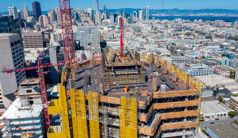
Formwork design automation
Our client from California, USA
-
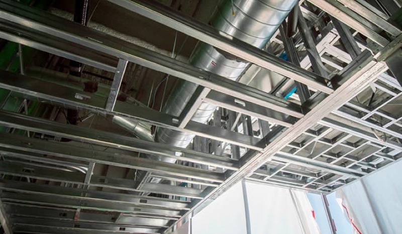
Suspended ceiling design automation
Our client from New York, USA
-
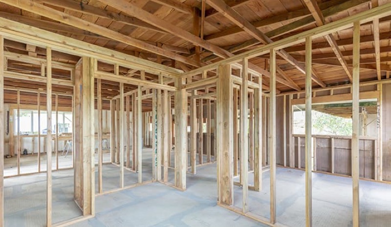
Wall framing design automation
Our client from California, USA
The Team Behind Your Project








Model Your Site Before You Commit
Send us your GIS, CAD, or survey data and the area you need modeled, and we will scope the urban model and give you a free quote with hourly estimates.
FAQ
What data do you need to build an urban model?
GIS exports, a CAD basemap, survey data, and any point clouds or aerial imagery you have. Ordnance or cadastral data helps for context and boundaries. If some inputs are missing, we can source open GIS data or model context from imagery, and we will tell you what accuracy that allows.
How accurate is the surrounding context?
Accuracy follows your data. Survey and point cloud inputs give precise context, while open GIS data gives reliable footprints and approximate heights. We agree the level of detail up front so the model is fit for your massing, zoning, or presentation purpose.
Can you keep proposed buildings separate from existing context?
Yes. We structure every model so existing context, terrain, and each proposed variant sit on distinct layers. That makes it straightforward to compare options, run shadow and view studies, and update the proposal without disturbing the surrounding city fabric.
Do you visit the site?
No. Powerkh works entirely off-site with no field visits. We build from the GIS, CAD, survey, and point cloud data you provide, so we can support planners and developers anywhere across the US, UK, and EU from our team.
How much does an urban planning model cost?
Powerkh uses hourly pricing. After reviewing your data, the area, and the level of detail, we provide a free quote with accurate hour estimates, and you pay only after we deliver the model. We sign an NDA on request.