Infrastructure & Civil BIM Modeling
Model linear and civil assets with the same coordination rigour as buildings. Powerkh delivers Infrastructure BIM for roads, bridges, utilities, drainage, and earthworks - corridor models and existing-condition surfaces built in Civil 3D and Revit, then coordinated across disciplines. Produced off-site to your standards and billed by the hour.
Discuss the taskPowerkh is a digital design consultancy delivering BIM, computational design, structural detailing, and digital fabrication for owners, architects, contractors, and engineers worldwide. About us
- 2018Founded
- 400+BIM/VDC projects
- 11Countries served
- 91NPS score
Infrastructure & Civil BIM Services
Infrastructure BIM is the modeling of civil and linear assets - roads, bridges, utilities, drainage, and earthworks - as coordinated 3D information models, typically using corridor models and existing-condition surfaces in Civil 3D and Revit. It brings infrastructure design into a data-rich environment for clash-free coordination and reliable quantities.
Infrastructure projects live and die on levels, alignments, and how disciplines meet underground. Modeling roads, drainage, and utilities in 3D surfaces the conflicts that 2D plans hide - a drainage run crossing a bridge foundation, a utility clashing with earthworks, a corridor that does not tie into existing ground. We build corridor models, existing-condition surfaces, and networks that carry real quantities, so earthwork volumes, pipe runs, and pavement areas come from the model rather than manual takeoff.
Powerkh has delivered coordinated civil and multidiscipline work across 400+ BIM and VDC projects for clients in the US, UK, and Europe. Your infrastructure model follows your standards, templates, and naming conventions, sits on the correct survey datum and coordinate system, and is exchanged through BIM 360 or your preferred platform. Units follow your preference (imperial by default, metric supported), all work is off-site, and an NDA is signed on request before any files are shared.

Why Infrastructure BIM
Clash-free underground and above
Roads, utilities, drainage, and structures are checked in one coordinated model, catching conflicts between networks, earthworks, and foundations before they reach the field.
Model-driven quantities
Earthwork volumes, pipe lengths, and pavement areas come straight from corridor and network models, giving your team reliable takeoffs that update as the design changes.
Accurate existing conditions
Survey and point-cloud data become existing-ground surfaces, so new alignments tie into real terrain and cut-and-fill is calculated against true conditions.
Coordinated with structures
Civil models coordinate with bridge and structural elements in Revit and Navisworks, keeping the linear works and the structures they carry consistent.
What Our Infrastructure BIM Covers
Road and corridor modeling
Alignments, profiles, and corridor models for roads and highways built in Civil 3D with cross-sections and pavement quantities.
Existing-condition surfaces
Survey and point-cloud data turned into accurate existing-ground surfaces as the baseline for grading, earthworks, and design tie-ins.
Utilities and drainage networks
Pressure and gravity networks for water, storm, and sewer modeled with real sizes and levels for coordination and quantity takeoff.
Earthworks and grading
Cut-and-fill modeling and grading surfaces with volume calculations driven directly from the model against existing terrain.
Bridge and civil structures
Bridge and structural elements modeled in Revit and coordinated with the civil works they connect to and carry.
Multidiscipline coordination
Navisworks coordination and clash detection across roads, utilities, drainage, earthworks, and structures to resolve conflicts in the model.
How Infrastructure BIM Is Delivered
-
Scope and NDA
We review your design intent, survey, and existing data to define the modeling scope and LOD. An NDA is signed on request, and you receive a free quote before work begins.
-
Survey and datum setup
Survey and point-cloud data are processed into existing surfaces on the correct datum and coordinate system so every discipline shares one accurate base.
-
Corridor and network modeling
Roads, drainage, utilities, earthworks, and structures are modeled to your standards and templates in Civil 3D and Revit, in your preferred units.
-
Coordination and QA
The disciplines are combined in Navisworks for clash detection, conflicts are resolved, and the model passes internal QA with reviews shared through BIM 360.
-
Delivery and quantities
You receive the coordinated model, surfaces, and quantity outputs, review the work, and pay only after it is accepted. We support the model through design revisions.
Software We Use
We work in the standard civil and infrastructure toolset so your models coordinate cleanly across disciplines and plug into your workflow.
- Autodesk Civil 3D
- Autodesk Revit
- Autodesk InfraWorks
- Navisworks
Our Case Studies
We have handled 400+ BIM & VDC projects for commercial, industrial, and residential sectors. Our work includes:
-
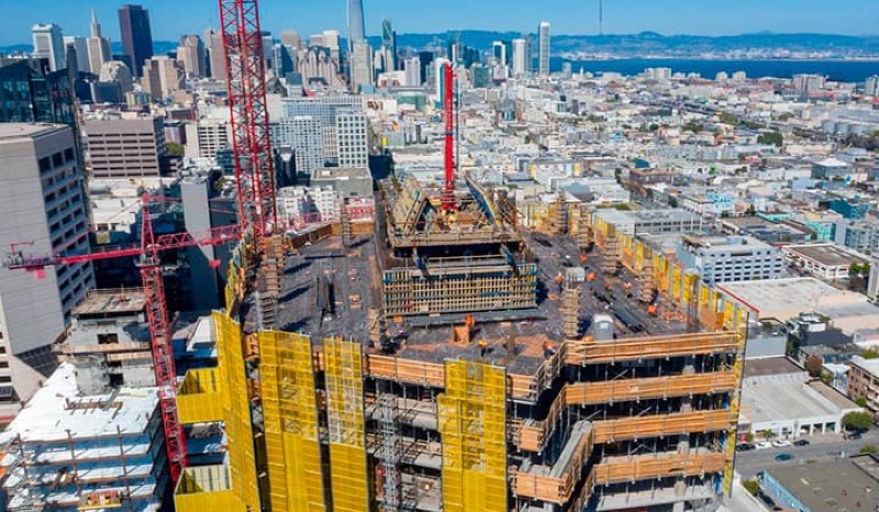
Formwork design automation
Our client from California, USA
-
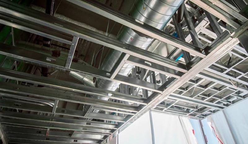
Suspended ceiling design automation
Our client from New York, USA
-
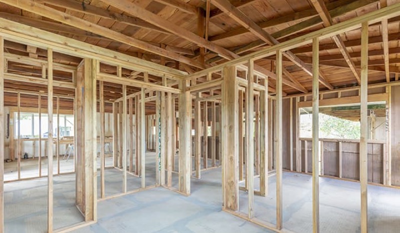
Wall framing design automation
Our client from California, USA
The Team Behind Your Project









Start an Infrastructure BIM Project
Share your civil design, survey, and existing data and we will propose a modeling scope and LOD free of charge - coordinated across roads, utilities, and structures, with payment only after delivery.
FAQ
What civil assets can you model in BIM?
We model roads and corridors, bridges and civil structures, water, storm and sewer utilities, drainage, and earthworks. These are built in Civil 3D and Revit and coordinated together so the full infrastructure scope is checked in one model.
Can you build existing-condition surfaces from survey data?
Yes. We turn topographic survey and point-cloud data into accurate existing-ground surfaces on the correct datum, so new alignments tie into real terrain and cut-and-fill is calculated against true conditions.
Do you coordinate civil works with structures?
Yes. Corridor and network models are coordinated with bridge and structural elements in Navisworks and Revit, catching conflicts between utilities, earthworks, and foundations before construction.
Can quantities be taken from the model?
Yes. Earthwork volumes, pipe lengths, and pavement areas are derived directly from corridor and network models, giving reliable takeoffs that update as the design changes rather than manual measurement.
How is Infrastructure BIM priced?
Work is billed by the hour and every project starts with a free quote based on scope, corridor length, and target LOD. Payment is due after the delivered model and outputs are reviewed and accepted.