BIM for Landscape
Model the ground plane with the same rigour as the building. Powerkh produces Landscape BIM for site design - hardscape, softscape, planting, grading, and site furniture built as parametric elements and coordinated with the architecture and civil models around them. Delivered under your standards and billed by the hour.
Discuss the taskPowerkh is a digital design consultancy delivering BIM, computational design, structural detailing, and digital fabrication for owners, architects, contractors, and engineers worldwide. About us
- 2018Founded
- 400+BIM/VDC projects
- 11Countries served
- 91NPS score
Landscape BIM Services
Landscape BIM is the modeling of exterior site design - hardscape, softscape, planting, grading, and site furniture - as parametric, data-rich elements within a coordinated information model. It brings landscape architecture into the same BIM environment as the building and civil disciplines so the whole site is designed and checked together.
Landscape is often the last discipline to reach BIM, still drafted in 2D while the building and civil teams model in 3D. That gap causes clashes at kerbs, levels, drainage, and tree pits that only surface on site. We model paving, walls, steps, planting, grading, and site furniture as parametric elements carrying real data - areas, quantities, species, and materials - so the landscape schedules cleanly and coordinates against structure and utilities before construction.
Powerkh has delivered coordinated multidiscipline work across 400+ BIM and VDC projects for clients in the US, UK, and Europe. Your landscape model follows your standards, templates, and naming conventions, aligns to the survey and civil surfaces, and is exchanged through BIM 360 or your preferred platform. Units follow your preference (imperial by default, metric supported), and an NDA is signed on request before any files change hands.

Why Landscape BIM
Coordinated with the whole site
Hardscape and planting are checked against building, structural, and civil models, catching level, kerb, and drainage clashes in the model instead of on site.
Data-rich schedules
Paving areas, planting counts, and material quantities come straight from the model, giving your team reliable takeoffs and species schedules that update as the design changes.
Accurate grading and levels
Site geometry is modeled against the survey and civil surfaces, so spot levels, falls, and transitions resolve correctly across the ground plane.
Reusable parametric content
Site furniture, tree pits, and paving assemblies built as families become a library you reuse across projects, keeping output consistent and efficient.
What Our Landscape BIM Covers
Hardscape modeling
Paving, kerbs, walls, steps, ramps, and paths modeled as parametric elements with materials and areas ready to schedule.
Softscape and planting
Trees, shrubs, and planting beds placed as data-rich families carrying species, size, and quantity for accurate planting schedules.
Grading and site surfaces
Toposurfaces and grading modeled from survey and civil data so levels, falls, and earthworks coordinate with the wider site design.
Site furniture and fixtures
Benches, lighting, bollards, and amenities modeled as reusable families placed accurately and counted directly from the model.
Cross-discipline coordination
Navisworks coordination of the landscape against building and civil models to resolve clashes at edges, levels, and services.
Landscape documentation
Layout plans, planting plans, sections, details, and schedules generated from the coordinated model for design and construction.
How Landscape BIM Is Delivered
-
Scope and NDA
We review your site design intent, survey, and civil data to define the modeling scope and LOD. An NDA is signed on request, and you receive a free quote before work starts.
-
Base setup
Survey and civil surfaces are brought in and aligned so the landscape model sits on accurate levels and the correct coordinate system from the outset.
-
Landscape modeling
Hardscape, softscape, grading, and site furniture are modeled to your standards and templates as parametric, schedulable elements, in your preferred units.
-
Coordination and QA
The landscape is checked against building and civil models in Navisworks, clashes are resolved, and the model passes internal QA with reviews shared through BIM 360.
-
Delivery and support
You receive the coordinated model, plans, and schedules, review the work, and pay only after it is accepted. We support revisions through the design stages.
Software We Use
We use the standard landscape and civil-aware toolset so your site model coordinates cleanly with the rest of the project.
- Autodesk Revit
- Autodesk Civil 3D
- Dynamo
- AutoCAD
Our Case Studies
We have handled 400+ BIM & VDC projects for commercial, industrial, and residential sectors. Our work includes:
-

Formwork design automation
Our client from California, USA
-
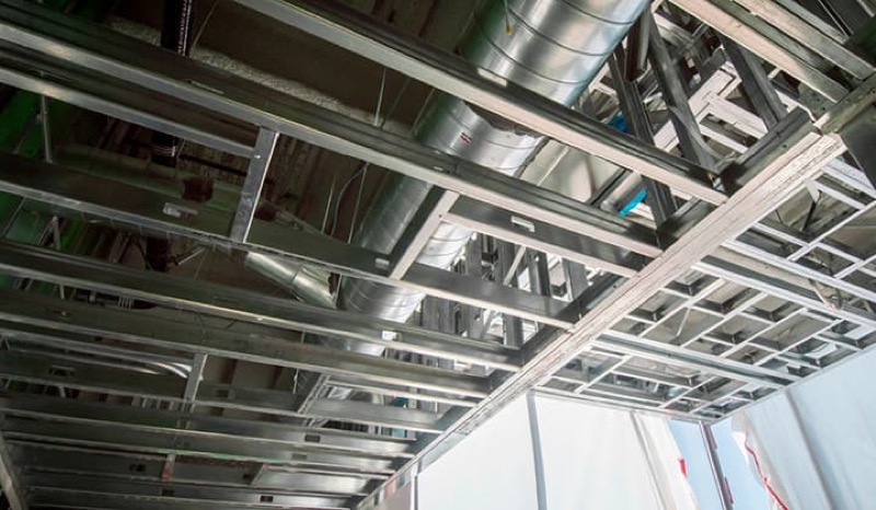
Suspended ceiling design automation
Our client from New York, USA
-
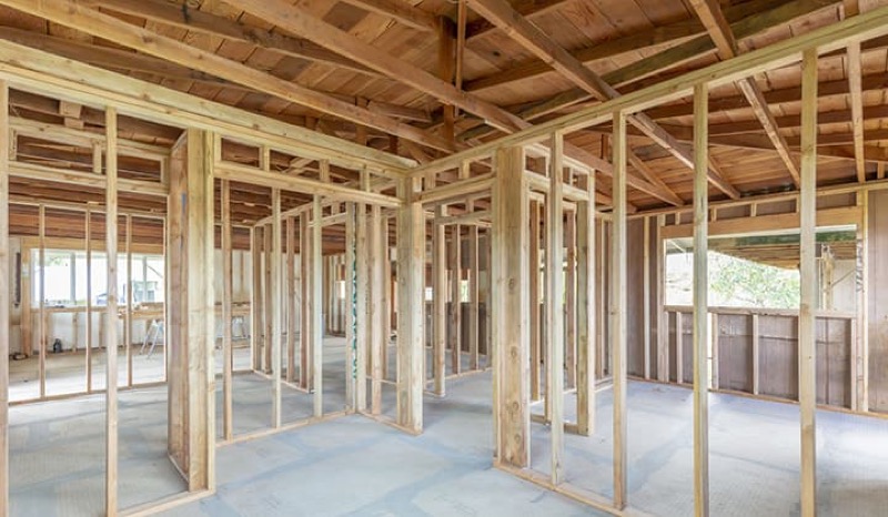
Wall framing design automation
Our client from California, USA
The Team Behind Your Project









Start a Landscape BIM Project
Share your site design, survey, and civil data and we will propose a modeling scope and LOD free of charge - coordinated with your building and civil models, with payment only after delivery.
FAQ
What is included in Landscape BIM?
We model hardscape, softscape, planting, grading, and site furniture as parametric elements carrying real data such as areas, quantities, and species. The result coordinates with the building and civil models and produces schedulable landscape documentation.
How does the landscape model coordinate with civil and architecture?
We align the landscape to the survey and civil surfaces on the correct coordinate system, then check it against building and civil models in Navisworks. This resolves level, kerb, and drainage clashes in the model rather than on site.
Can you generate planting and material schedules?
Yes. Planting is placed as data-rich families and hardscape carries materials and areas, so species counts, paving quantities, and takeoffs come straight from the model and update as the design changes.
What data do you need to start?
A topographic survey and any civil surfaces give us accurate levels, alongside your design intent drawings. We align to your coordinate system and work in your preferred units, imperial by default with metric supported.
How is Landscape BIM priced?
Work is billed by the hour and every project begins with a free quote based on site size and target LOD. Payment is due after the delivered model and documentation are reviewed and accepted.