Have any questions? Contact us!
Join our team!
Request a free quote or consultation

Aerial building surveys use drones or aircraft to capture high-resolution images, videos, and data about a property’s structure, roof, or façade. They’re often used for inspections, construction progress tracking, or marketing visuals. The cost can vary significantly depending on the size of the property, location, required outputs, and type of equipment used. Whether you’re a contractor, property manager, or real estate developer, understanding the price range and key factors can help you plan more effectively.
Understanding the Real Value Behind Aerial Building Surveys
Aerial building surveys have become a smart alternative to traditional inspection methods, especially for properties that are hard to access or too costly to examine using scaffolding or lifts. With the use of drones, inspections are now faster, safer, and often more detailed, capturing high-resolution images and video from multiple angles without any physical disruption to the site.
But how much do these surveys actually cost? That depends on a range of factors, from the size of the building to the type of data you need. Knowing what goes into the pricing helps avoid surprises and ensures you’re getting a service that fits your property’s specific needs.
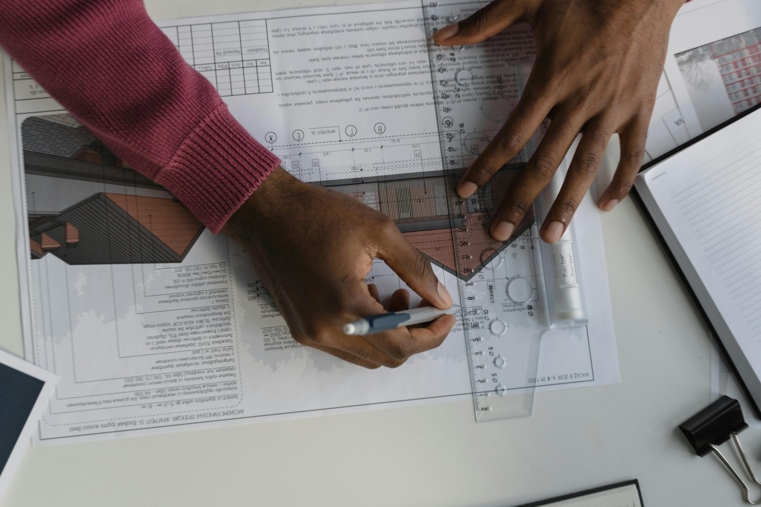
Powerkh’s Role in Modern Construction and Digital Design

We are Powerkh, a UK-based company with offices in Ukraine and the USA, providing aerial building survey services along with BIM and VDC support. Our work includes capturing and processing data from aerial sources to support building documentation, planning, and construction tasks. We work across residential, commercial, and industrial sectors, delivering models and drawings based on real site conditions.
In our company, we convert aerial and point cloud data into detailed BIM models, from early-stage massing to LOD 500. We create 2D as-built drawings, Revit content, prefabrication-ready shop drawings, and automate routine design workflows. Our team also handles structural detailing and coordinates models using clash detection and other Revit-based tools.
We work with architects, engineers, surveyors, contractors, and others involved in building and renovation projects, focusing on clear communication, technical accuracy, and practical results. Our goal is to deliver useful, well-structured information that helps teams make decisions, avoid delays, and keep construction moving.
Breakdown of Aerial Building Survey Costs by Property Type
Aerial building surveys vary widely in cost depending on the type of property, level of detail required, and complexity of the structure. Below is a general guide to typical price ranges for different survey types, applicable across residential, commercial, and specialist use cases.
1. Residential Properties
Surveys for houses and small buildings tend to be the most affordable. These inspections usually involve straightforward roof access and minimal planning.
- Typical price range: $375-$1,200
- Standard full-service surveys: around $500-$600
What affects the price:
- Size of the roof area
- Level of detail (photos only vs. detailed reports)
- Inclusion of extras like 3D models or expert analysis
2. Commercial Buildings
Inspections of offices, industrial buildings, retail parks, and other commercial sites involve more flight time, data collection, and analysis.
- Typical price range: $600-$4,000+
- Starting point for basic commercial drone surveys: around $800
Price drivers include:
- Total surface area
- Roof complexity (multi-level structures, obstructions)
- Data delivery requirements (e.g. 2D mapping, condition reports)
3. Heritage and Listed Buildings
Structures such as churches, cathedrals, and protected buildings require high-resolution imaging, careful navigation, and a more cautious approach due to architectural sensitivity.
- Typical price range: $650-$2,000+
- Smaller heritage buildings: from $650
- Larger or more complex buildings with towers or spires: $1,000+
These projects often involve more manual planning and higher risk mitigation, which can raise the cost.
4. Thermal Drone Surveys
Thermal or infrared drone inspections are priced higher due to the specialized equipment and software involved, along with the expertise required to interpret the results.
- Typical price range: $650-$2,500+
- Basic thermal scans: from $650
- Comprehensive thermal surveys with analysis and reporting: $1,500-$2,500+
These surveys are commonly used for detecting heat loss, electrical faults, moisture intrusion, or solar panel efficiency.
What Affects the Cost of a Drone Survey?
The price of a drone-based building survey can vary significantly depending on a number of project-specific factors. Understanding these variables helps explain why quotes may differ even for similar-looking jobs. Here are the main factors that influence the overall cost:
- Size of the Area Being Surveyed: Larger buildings or sites require more flight time, more data collection, and additional post-processing.
- Complexity of the Structure: Buildings with multiple roof levels, towers, spires, or obstructed access points require more precise planning and piloting, increasing both risk and workload.
- Type of Survey Required: A basic visual survey is cheaper than one that includes thermal imaging, 3D mapping, or full condition reports with expert analysis.
- Data Output and Reporting Needs: High-resolution images, annotated reports, or 3D models take longer to process and often require specialised software, which can raise the price.
- Site Location and Accessibility: Remote locations, urban environments with restricted airspace, or areas near airports may involve extra planning or permissions.
- Pre-Survey Preparation and Risk Assessment: Some sites may require an initial visit or more detailed flight planning due to surrounding hazards or safety concerns.
- Operator Experience and Certifications: Companies with certified drone pilots, advanced equipment, and proven expertise often charge more but offer higher-quality results and better compliance with local regulations.
- Number of Survey Visits: A one-time inspection will cost less than recurring or contract-based surveys that span multiple days or sites.
Each of these factors contributes to the time, skill, and resources required to carry out a safe and accurate drone inspection. That’s why it’s important to clarify your needs in advance and ask for a detailed breakdown when comparing service quotes.
What’s Typically Included in an Aerial Survey Service?

The contents of an aerial survey package can vary depending on the provider and the type of service requested. Below is a breakdown of the most common elements that are typically included in a professional drone survey.
1. High-Resolution Visual Data
Most standard surveys include:
- Still images (often 20MP or higher)
- 4K or HD aerial video footage
- Close-up shots of specific problem areas (e.g. chimneys, flashing, roof valleys)
This visual data helps assess the current condition of a building’s exterior without needing physical access.
2. Real-Time Viewing (Optional)
Some providers offer the ability to monitor the flight live on-site. This allows property owners or inspectors to guide the drone operator in real time to focus on areas of concern.
3. Cloud-Based or Physical Data Delivery
Survey results are typically delivered in one or more of the following formats:
- Secure cloud link for online access
- Downloadable folders with labelled images and video
- USB drive or memory stick (by request)
4. Expert Analysis and Condition Reports
Depending on the level of service:
- A basic survey may only include unprocessed images and videos.
Full-service packages often include:
- A written condition report
- Annotated images highlighting issues
- Summary of potential risks or areas requiring repair
- Recommendations for next steps
5. Optional Add-Ons
Higher-tier or specialised surveys may also include:
- Thermal imaging for detecting heat loss, leaks, or electrical faults
- 3D modelling or photogrammetry
- Orthomosaic mapping for large or irregular sites
- Progress tracking for construction or renovation projects
Who Uses Aerial Building Surveys and Why
Aerial surveys aren’t just for large construction firms or industrial sites. They’re used across many industries and property types where traditional inspection methods are time-consuming, costly, or unsafe. Below are some of the most common users and their reasons for choosing drone-based surveys:
- Homeowners and Landlords: To inspect roofs, chimneys, and upper-level structures without needing scaffolding or ladders especially after storms or before selling a property.
- Commercial Property Managers: For routine maintenance checks, insurance documentation, or diagnosing damage on warehouses, offices, and retail spaces.
- Surveyors and Building Consultants: To gather accurate visual data as part of condition assessments, feasibility studies, or planning applications.
- Local Authorities and Housing Associations: For large-scale inspections across housing estates, public buildings, and municipal sites saving time and reducing disruption to residents.
- Religious and Heritage Organisations: To monitor the condition of listed buildings, churches, and historic sites with minimal physical impact.
- Facility Maintenance Teams: For ongoing visual documentation, fault detection, and planning of repair work on structures that are hard to reach or dangerous to access manually.
- Insurance Providers: To document property conditions for claims, risk assessments, or loss prevention without relying on manual inspections.
How to Get a Reliable and Transparent Survey Quote
Getting an accurate quote for an aerial building survey starts with providing the right information. Before contacting a service provider, it helps to know the basic details of your property such as its size, number of roof levels, and the purpose of the survey. Whether you’re looking for general condition images, thermal data, or a full written report, being clear about your goals will make the quote more specific and relevant.
It’s also important to ask what’s included in the price. Some providers may offer only raw imagery, while others include expert analysis, flight planning, and post-processing in their standard packages. Make sure to check whether travel fees, permits, or insurance are part of the quote, and confirm that the operator is certified and experienced with your type of building. A good provider will explain these details up front and help tailor the survey to your needs without hidden costs.
Conclusion
Aerial building surveys have become a practical and cost-effective solution for inspecting roofs, facades, and hard-to-reach structures. While prices can range anywhere from $375 to several thousand dollars, the final cost depends on factors like the size of the building, type of survey, level of detail, and site accessibility.
Whether you’re a homeowner checking for damage or a facility manager planning maintenance, drone-based inspections can offer accurate results with minimal disruption often faster and cheaper than traditional methods. For the best value, focus on service quality and clarity of deliverables, not just the lowest price.
FAQ
How much does a drone building survey typically cost?
Prices generally range from $375 for basic residential surveys to $2,500+ for detailed commercial or thermal inspections. A standard full-service survey usually costs between $500 and $1,000.
What affects the cost of an aerial survey the most?
Key factors include the size and complexity of the building, the type of survey (visual, thermal, or 3D), the quality of data required, and the provider’s expertise.
Are drone surveys cheaper than traditional inspections?
In most cases, yes. Drone surveys eliminate the need for scaffolding, lifts, or large teams, reducing labor and equipment costs significantly.
Is a written report included in the price?
Not always. Some providers include a detailed condition report with annotated images, while others may only deliver raw photos or video. Always confirm what’s included before booking.
Do I need permission for a drone survey?
The drone operator is responsible for securing necessary flight permissions and following local regulations. Always choose a licensed and insured provider to ensure compliance.
Our Case Studies
We have handled 200+ BIM & VDC projects for commercial, industrial, and residential sectors.
Our work includes:
Formwork design automation
Our client from
California, USA
Suspended ceiling design automation
Our client from
New York, USA
Wall framing design automation
Our client from
California, USA


