هل لديك أي أسئلة؟ اتصل بنا!
انضم إلى فريقنا!
اطلب عرض أسعار أو استشارة مجانية

When it comes to achieving high accuracy in design and construction, laser scanning technology has become an invaluable tool. In Bristol, several companies are leading the way, offering specialized laser scanning services that bring efficiency, precision, and clarity to a wide range of industries. From capturing intricate building details to streamlining the design process, laser scanning companies in Bristol are transforming how projects are visualized and executed. Whether you’re looking to map a historic building, or you need to enhance your architectural designs, these companies are equipped with the expertise and technology to meet your needs. Let’s explore the top players in the field who are making a difference in the industry.
1. باورخ

| الموقع الإلكتروني | www.powerkh.com |
| البريد الإلكتروني | [email protected] |
| فيسبوك | www.facebook.com/100064039650167 |
| لينكد إن | www.linkedin.com/company/powerkh |
| انستقرام | www.instagram.com/powerkh_com |
| العنوان | 3، لافينيا ووك، تاو هيل، سويندون SN25 1AP |
| الهاتف | +44 7490 426678 |
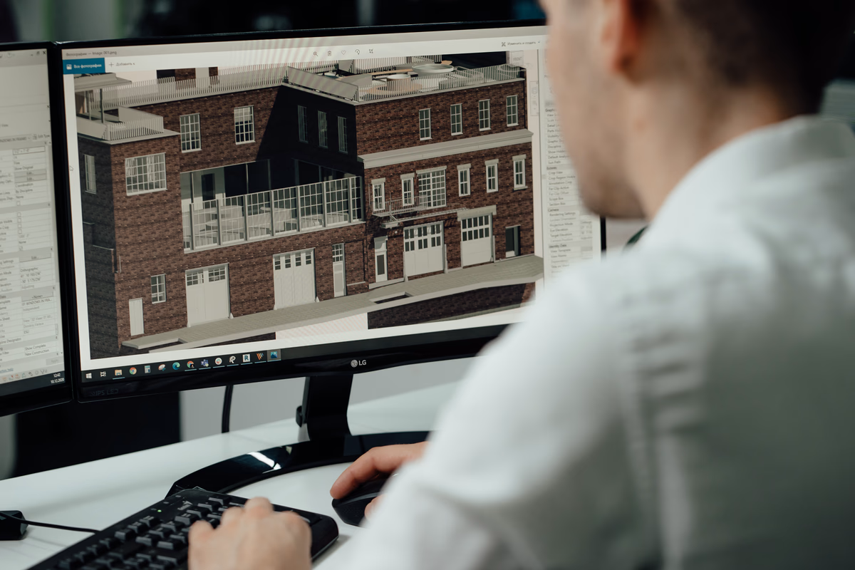
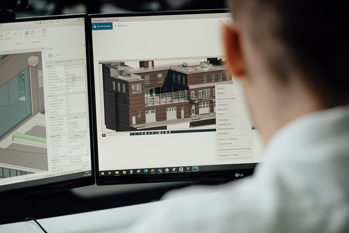
We are Powerkh, a UK-based engineering-led digital construction consultancy, with offices in the United States and Ukraine, focused on ensuring design continuity from the planning phase to construction completion. Our services are designed to support project teams by maintaining the integrity of the original design, using engineering judgment, BIM, and reality-based verification throughout the project lifecycle. By working closely with design and construction teams, we help ensure that the design intent remains intact, minimizing risks and enhancing project outcomes. Our work is especially important in the UK, where maintaining design accuracy and meeting deadlines is crucial in a competitive construction environment.
Our laser scanning and existing conditions modelling services are integral to the work we do. We utilize advanced terrestrial laser scanning technology to capture and model buildings accurately, providing a reliable base for design and coordination. This service includes point cloud processing and Revit modelling, ensuring that design decisions are grounded in verified, existing data. This approach is particularly valuable for projects in the UK, where precision and data-driven decisions are key to avoiding costly mistakes and delays. With our laser scanning services, we ensure that the transition from design to construction is seamless and aligned with the original vision.
أبرز الملامح الرئيسية:
- Engineering-led consultancy ensuring design continuity throughout the project lifecycle
- Expertise in laser scanning and existing conditions modelling for accurate project data
- BIM and reality-based verification to ensure design intent is preserved during construction
- Coordination support to align design and construction processes
- Focus on reducing project risks and enhancing outcomes
Who it’s best for:
- UK-based teams in need of reliable design continuity support
- Construction and design teams looking for precise existing conditions data
- Engineers and architects focused on maintaining design accuracy
- Project teams aiming to minimize risks and improve project efficiency
2. Bristol Measured Survey

| الموقع الإلكتروني | bristolmeasuredsurvey.co.uk |
| الهاتف | 0117 905 9861 |
| البريد الإلكتروني | [email protected] |
| العنوان | Newminster House, 27-29 Baldwin Street, Bristol BS1 1LT |
| فيسبوك | www.facebook.com/bristolmeasuredsurvey |
Bristol Measured Survey is a prominent provider of 3D laser scanning services in the city, specializing in measured building surveys, 3D point clouds, and as-built 2D and 3D BIM models. Their services are highly regarded for delivering precise and reliable results, supporting a wide range of projects from architectural designs to large-scale construction. With a focus on delivering high-quality, detailed surveys, they use state-of-the-art 3D laser scanning technology to capture the most accurate measurements possible, creating detailed and accurate digital models of existing buildings. Their laser scanning services help ensure that design decisions are made based on verified, existing conditions, streamlining the planning and execution phases of projects.
The team at Bristol Measured Survey excels in providing accurate, swift, and professional survey results. Their use of cutting-edge technology, including CAD and Revit software, allows them to create exceptionally detailed 3D BIM models that are essential for accurate construction planning. Whether working on small residential projects or large commercial developments, their services ensure that all building data is captured in high detail, making it easier for architects, engineers, and construction teams to visualize and plan. They are a valuable resource for anyone looking for reliable, precise laser scanning and building survey services in the Bristol area.
أبرز الملامح الرئيسية:
- Specializes in 3D laser scanning and measured building surveys in Bristol
- Offers detailed 3D point clouds, as-built 2D drawings, and 3D BIM models
- Utilizes advanced laser scanning technology for high-precision data collection
- Experienced in both residential and large-scale commercial projects
- Delivers fast, reliable, and accurate results to support project planning
Who it’s best for:
- Architects, engineers, and construction teams needing accurate building data
- Professionals seeking precise 3D models and point clouds for design projects
- Clients in Bristol looking for swift and reliable laser scanning services
- Teams requiring verified existing conditions to support construction and design decisions
3. South West Surveys
| الموقع الإلكتروني | www.southwestsurveys.co.uk |
| الهاتف | 07595 946495 |
| البريد الإلكتروني | [email protected] |
| العنوان | Unit 2, The Cartshed, Manor Farm Offices, Aust Road, Aust, South Gloucestershire, BS35 4AT |
South West Surveys is a trusted provider of terrestrial laser scanning services, delivering precise point cloud data for a wide variety of construction and surveying projects. Their expertise lies in using high-definition surveying (HDS) technology to capture accurate, millimeter-precise data, ensuring that all survey outputs meet the highest standards. They work with a diverse range of clients across various industries, including residential, commercial, industrial, and heritage sites, offering tailored laser scanning surveys to suit each project’s unique requirements. By providing detailed 3D models and point clouds, they help professionals make informed design and construction decisions, minimizing the potential for errors or discrepancies.
With a focus on precision and speed, South West Surveys uses advanced laser scanning techniques to capture highly detailed 360-degree imagery and point clouds. Their laser scanning technology is known for its ability to create highly accurate data sets, which are then processed into useful formats such as 3D models, CAD drawings, and BIM-ready data. Their services are ideal for identifying existing conditions, helping to detect potential problems early in the project cycle, which can save time and costs in the long run. Their extensive experience makes them a valuable partner for any project that requires the highest level of survey accuracy and detail.
أبرز الملامح الرئيسية:
- Specializes in terrestrial laser scanning for accurate point cloud production
- Provides detailed 3D models, CAD drawings, and BIM-ready data
- Expertise in capturing millimeter-accurate data for a variety of industries
- Known for precision and speed in delivering laser scanning results
- Focus on identifying existing conditions and potential issues early in the project
Who it’s best for:
- Construction and design teams requiring precise laser scanning data
- Clients in need of detailed 3D models or point clouds for their projects
- Architects and engineers looking for accurate existing conditions data
- Professionals working on residential, commercial, industrial, or heritage projects in the UK
4. Neonex Digital

| الموقع الإلكتروني | neonexdigital.com |
| الهاتف | +44 203 310 3704 |
| البريد الإلكتروني | [email protected] |
| لينكد إن | www.linkedin.com/in/lewisboxer |
Neonex Digital utilizes 3D laser scanning technology to deliver precise, detailed surveys for Bristol’s process industries and beyond. Their focus is on using laser scanning to produce highly accurate Piping and Instrumentation Diagrams (P&IDs) and 3D process models, essential for operational planning and regulatory compliance. By capturing detailed point cloud data, Neonex Digital provides an exact digital representation of industrial facilities, which can be processed into intelligent, data-rich models. This approach supports industries in complying with strict regulations, such as those from the Health and Safety Executive (HSE) and the Environment Agency (EA), by ensuring that all aspects of a facility are accurately documented and easily accessible.
Their services also extend to Hazard and Operability Studies (HAZOPs), where the detailed data captured through laser scanning is used to identify and mitigate potential risks in complex industrial systems. By producing accurate models, they help industries in Bristol optimize operational efficiency, maintain safety standards, and streamline regulatory compliance efforts. The flexibility of their 3D laser scanning services makes them suitable for a wide range of applications, from pressure system documentation to facility management and maintenance.
أبرز الملامح الرئيسية:
- Specializes in 3D laser scanning for industrial sites and facilities
- Creates P&IDs and 3D process models from point cloud data
- Supports regulatory compliance and safety standards
- Expertise in Hazard and Operability Studies (HAZOPs)
- Provides high-accuracy data for operational planning and maintenance
Who it’s best for:
- Industrial and process companies needing precise regulatory documentation
- Engineers and facility managers looking for detailed 3D models for analysis and maintenance
- Organizations needing accurate data for compliance with HSE and EA regulations
- Clients requiring 3D scanning for process optimization and risk management
5. ScanTech Digital

| الموقع الإلكتروني | www.scantechdigital.com |
| الهاتف | 0333 577 5752 |
| البريد الإلكتروني | [email protected] |
| العنوان | 321 شارع برادفورد، ديجبيث، برمنجهام، B5 6ET |
| لينكد إن | www.linkedin.com/company/scantech-digital |
| انستقرام | www.instagram.com/scantechdigital |
| تويتر | x.com/ScanTechDigital |
ScanTech Digital offers cutting-edge reality capture services, leveraging 3D laser scanning, photogrammetry, and drone technology to produce detailed digital models of sites and structures. Their services are designed to support architects, engineers, and construction professionals in Bristol, providing them with the tools needed to document existing buildings or land with precision. By capturing data from multiple sources, ScanTech Digital creates digital twins that help professionals visualize and plan projects more effectively. This technology is particularly useful for renovation projects, where accurately capturing existing conditions is key to planning adaptive reuse or sustainable development.
The use of laser scanning allows for a high level of accuracy in documenting every detail of a structure, ensuring that architects and engineers can make informed decisions. Whether working on large-scale commercial projects or smaller residential renovations, ScanTech Digital’s 3D models and point clouds provide essential data for design, planning, and construction. Their services extend to topographical surveys and the creation of virtual tours, offering a comprehensive suite of tools for modern construction and architecture needs.
أبرز الملامح الرئيسية:
- Provides 3D laser scanning, photogrammetry, and drone surveying services
- Specializes in creating detailed digital models and digital twins of buildings and sites
- Useful for renovation projects, adaptive reuse, and sustainable development
- Offers topographical surveys and virtual tours for enhanced project planning
- Creates highly accurate 3D models to support design and construction
Who it’s best for:
- Architects and engineers needing accurate documentation of existing structures
- Construction teams working on renovation or adaptive reuse projects
- Property developers requiring topographical surveys and detailed site models
- Clients interested in creating digital twins and virtual tours for project planning
6. Dando Surveying Ltd

| الموقع الإلكتروني | www.dandosurveying.co.uk |
| الهاتف | 01453 845017 |
| البريد الإلكتروني | [email protected] |
| العنوان | 27-29 New Street, Charfield, South Gloucestershire GL12 8ES |
Dando Surveying Ltd provides professional 3D laser scanning services for various sectors, including construction, architecture, and heritage conservation in Bristol. By using Faro Focus 3D scanning technology, they capture highly detailed and accurate point cloud data, which forms the basis for creating precise digital models. This service is particularly useful for large or complex structures, allowing for the capture of intricate details in environments that are often difficult to survey. The data collected is processed by skilled CAD technicians and then used to create 3D Building Information Models (BIM) or 2D AutoCAD drawings, depending on client needs.
Their laser scanning technology is also well-suited for hazardous or hard-to-reach areas, as the process is remote and non-invasive. This makes it an ideal solution for projects involving historic buildings or sensitive structures, where maintaining integrity is crucial. Whether it’s surveying large industrial sites, bridges, or listed buildings, Dando Surveying ensures that the collected data is referenced accurately to control points or the OS grid. This level of precision helps clients make well-informed design and construction decisions, ultimately ensuring smooth project execution.
أبرز الملامح الرئيسية:
- Specializes in 3D laser scanning for large and complex structures
- Uses Faro Focus 3D technology to capture accurate point cloud data
- Ideal for surveying hazardous, hard-to-reach, or sensitive areas
- Provides both 2D AutoCAD drawings and 3D BIM models
- Focus on architectural, heritage, and industrial applications
Who it’s best for:
- Architects and engineers needing precise and reliable survey data
- Historical building conservation projects requiring careful scanning
- Large-scale construction and industrial projects with complex requirements
- Clients working with inaccessible or hazardous locations
7. Ardcor Modelmakers
| الموقع الإلكتروني | ardcor.co.uk |
| الهاتف | 01454 227226 |
| البريد الإلكتروني | [email protected] |
| العنوان | Unit B8. Backfield Industrial Estate. Wotton Road, Iron Acton, Bristol. BS37 9XD |
| لينكد إن | www.linkedin.com/in/john-ardis-ardcor-modelmakers |
| فيسبوك | www.facebook.com/p/Ardcor-Modelmakers-100054634561941 |
| انستقرام | www.instagram.com/ardcormodelmakers |
Ardcor Modelmakers offers high-precision 3D scanning services tailored for industries such as engineering, product design, architecture, and heritage conservation. Their advanced scanning technology provides highly detailed digital representations of physical objects, enabling reverse engineering, quality inspection, and digital archiving. Whether clients need to digitize prototypes or preserve historical artifacts, Ardcor’s 3D scanning services bridge the gap between the physical and digital worlds, allowing for accurate analysis and modification.
The company integrates 3D scanning seamlessly into various workflows, whether for enhancing product development or creating precise digital archives. Their services are especially beneficial for industries where high accuracy is required, such as for creating replicas of parts or products. With a focus on accuracy and ease of use, Ardcor helps businesses transform physical objects into reliable digital models for further use in design, manufacturing, or conservation.
أبرز الملامح الرئيسية:
- Specializes in high-precision 3D scanning for a variety of industries
- Focus on reverse engineering, quality inspection, and digital archiving
- Creates accurate digital models from physical objects for analysis and modification
- Tailored services for product design, prototyping, and heritage conservation
- Easy integration into existing workflows for seamless project execution
Who it’s best for:
- Engineers and designers needing precise digital models for prototyping
- Companies in product design, reverse engineering, or quality control
- Heritage conservation projects requiring accurate digital archiving
- Clients needing reliable digital models for manufacturing or inspection
8. Terrain Surveys
| الموقع الإلكتروني | terrainsurveys.co.uk |
| الهاتف | +44(0)117 239 5181 |
| البريد الإلكتروني | [email protected] |
| العنوان | 77 Captain’s House, Captain’s Gardens, Bristol BS16 2GX |
| انستقرام | www.instagram.com/terrainsurveys |
Terrain Surveys provides advanced 3D laser scanning services in Bristol, offering high-resolution point cloud data for a range of industries including construction, architecture, and engineering. Using cutting-edge technology, they can capture millions of data points every second to produce an incredibly detailed and accurate digital representation of existing environments. This data is crucial for applications such as creating as-built documentation, conducting dimensional analysis, and supporting design and planning projects. Their services are particularly valuable for complex or large structures, providing precision in capturing even the most intricate details of buildings or infrastructure.
The point cloud data collected by Terrain Surveys can be processed into various outputs, including 2D CAD drawings and 3D BIM models. This makes it easier for project teams to integrate the data into their design workflows, facilitating better collaboration and reducing errors or delays. Whether it’s used for visualisation, clash detection, or verifying as-built conditions, their 3D laser scanning ensures that the most accurate and reliable data is available, enhancing decision-making throughout the project lifecycle.
أبرز الملامح الرئيسية:
- High-resolution point cloud data captured with advanced laser scanning technology
- Applicable to various industries including construction, architecture, and engineering
- Services include as-built documentation, dimensional analysis, and design support
- Capable of producing 2D CAD drawings and 3D BIM models from point cloud data
- Improves collaboration and reduces project errors and delays
Who it’s best for:
- Architects and engineers needing precise, reliable data for design and planning
- Construction teams requiring accurate as-built documentation for verification
- Project teams looking to integrate high-quality data into their workflows
- Clients with large or complex structures needing detailed scanning for better decision-making
9. ProFacilities
| الموقع الإلكتروني | profacilities.co.uk |
| الهاتف | 0800 958 9968 |
| العنوان | Unit 1, South Bradford Trading, Estate, Brighouse Rd Low Moor, Bradford, BD12 0QA |
| لينكد إن | www.linkedin.com/company/pro-facilities-ltd |
| فيسبوك | www.facebook.com/profacilitiesltd |
ProFacilities offers comprehensive 3D scanning surveys in Bristol, utilizing cutting-edge LiDAR and scanning technologies for accurate and detailed 3D measurements of physical spaces. Their services cater to various industries, including retail, real estate, construction, and hospitality, providing essential data for new designs, renovations, and refurbishments. The scanning process produces high-resolution point clouds that can be used for creating detailed 3D models and virtual walkthroughs, which are especially useful for visualising spaces and improving collaboration among stakeholders.
ProFacilities offers several scanning packages, including basic scans, virtual tours, and full data registration and processing. Their full scanning package includes the creation of CAD drawings and BIM-ready data, making it easy for clients to integrate the scanned data into their design software. This service is ideal for anyone looking for a seamless, comprehensive scanning solution that includes everything from raw scan data to fully processed and registered files ready for design and construction use.
أبرز الملامح الرئيسية:
- LiDAR and 3D scanning services for accurate measurements of physical spaces
- Ideal for a wide range of industries including retail, construction, and hospitality
- Offers different scanning packages, including basic, virtual tour, and full data processing
- Provides CAD and BIM-ready outputs for easy integration into design workflows
- Enhances collaboration with detailed 3D models and virtual walkthroughs
Who it’s best for:
- Real estate developers and architects needing accurate 3D data for planning and design
- Retail and hospitality industries looking for precise scans of physical spaces
- Construction teams requiring detailed as-built data for renovations or new builds
- Clients needing both raw scan data and processed models for project integration
الخاتمة
In conclusion, laser scanning services in Bristol offer valuable solutions for a range of industries, from construction and architecture to heritage conservation and product design. These companies provide precise and reliable data that can be seamlessly integrated into various workflows, helping clients make more informed decisions and improve project outcomes. Whether you’re capturing intricate details of a historic building, designing a new product, or ensuring accurate as-built documentation for a construction project, laser scanning plays a critical role in modern design and construction practices.
The advancements in laser scanning technology have made it possible to achieve higher accuracy and faster results, reducing the need for multiple visits to the site and minimizing costly mistakes. With companies like Terrain Surveys, ProFacilities, and Ardcor Modelmakers, Bristol’s laser scanning industry offers a wide range of services tailored to different needs and project types. As technology continues to evolve, the role of laser scanning in shaping the future of design, construction, and preservation will only become more integral, making it an essential tool for professionals across the city and beyond.

دراسات الحالة لدينا
لقد تعاملنا مع أكثر من 200 مشروع من مشاريع نمذجة معلومات المباني ونمذجة معلومات المباني للقطاعات التجارية والصناعية والسكنية.
يشمل عملنا ما يلي:
أتمتة تصميم القوالب
Our client from
California, USA
أتمتة تصميم السقف المعلق
Our client from
New York, USA
أتمتة تصميم إطارات الحائط
Our client from
California, USA